Hydrological mapping: Guide to mapping and analyzing water systems
From winding rivers to pipes beneath our streets, water shapes our world. But as climate change intensifies flooding and droughts, just knowing where water is located isn’t enough — we need to understand how it flows across landscapes.
While people often struggle to uncover these insights through spreadsheets, interactive maps make it easy. With the help of geographic information systems (GIS), we can plot waterbodies and analyze the interaction between nature and infrastructure. Hydrological mapping shows how water actually moves and affects the world, letting us pave the way for safer communities and a more resilient future.
Explore hydrological mapping, key plotting techniques, and ways people use it in the real world.
What’s hydrological mapping?
Hydrological mapping combines field measurements, satellite imagery, and GIS to visualize how water interacts with its surroundings.
These maps help experts analyze water flow and anticipate how it may respond to land use and climate change. They reveal even more when layered with other datasets. For instance, when paired with elevation models, analysts can determine flood risk by comparing estimated water level and property damage.
That’s what makes hydrology mapping so valuable for operations like infrastructure development and environmental management. Whether your goal is protecting groundwater supplies or designing safe communities, hydrological maps provide access to the real-world insights needed for planning and decision-making.
Hydrological maps typically include:
- Surface water features like rivers, streams, lakes, and reservoirs
- Groundwater systems such as underground aquifers and springs
- Drainage networks like channels and tributaries
- Watersheds, which are land areas that collect and funnel water to a common outlet
Keep in mind that hydrological maps and hydrogeological maps are often used interchangeably, but they’re distinct terms. The former focuses on surface water, while the latter covers subsurface water systems. For the purposes of this guide, we’ll discuss all water features under the term hydrological.
What data is used in hydrological mapping?
Hydrological mapping draws on a combination of spatial data to examine how water behaves across a watershed. Here are the most common types:
- Digital elevation models (DEMs): DEMs use elevation data to represent the shape of the land. People use this information to trace flow direction and define watershed boundaries.
- Precipitation and climate data: Rainfall, temperature, and seasonal weather patterns help estimate how much water enters a watershed and support runoff analysis.
- River and stream networks: These data sets map surface water channels and drainage systems, showing how rivers and tributaries connect across the landscape.
- Soil and land cover data: Soil types and vegetation affect how quickly water infiltrates the ground. Analysts also use this data to assess erosion risk and sediment transport.
- Groundwater data: Well records, geological maps, and geophysical surveys reveal how water moves through an aquifer and where the table is located.
Together, these data sets build a clear picture of how water functions and impacts the landscape. Each layer adds its own perspective: Elevation describes the terrain, climate determines how much water enters the system, soil influences how quickly water is absorbed, and groundwater data captures what happens below the surface.
What are key hydrology mapping methods?
Hydrologists use several techniques to observe water. Some methods define where water is collected, while others show the paths it follows and highlight where flooding is likely to occur.
GIS tools work alongside these methods to turn terrain and environmental data into usable insights. Modern platforms also automate much of the analysis, making it easier to model watersheds, calculate accumulation, and assess flood risk.
Here are some common hydrology mapping techniques.
Watershed delineation
Watershed delineation outlines the land area that drains to a shared outlet, like a river, lake, or reservoir. Using DEMs, analysts can trace ridgelines and figure out which areas contribute runoff to a specific point. Before placing a culvert, an engineer might use watershed mapping to delineate the upstream drainage area and estimate how much stormwater will flow through the structure.
Flow direction and accumulation analysis
Analysts use elevation data to model where water will travel. Flow direction identifies the path water takes downhill, and accumulation measures how much runoff gathers along those routes. This process reveals low-lying areas where water naturally concentrates and shows where streams might form.
Stream and river network mapping
Once analysts determine flow paths, they can map the connected stream network. This includes major rivers, small tributaries, and drainage channels that carry water through watersheds. These maps visualize which upstream areas feed into a particular lake or wetland.
Flood risk mapping
This technique pinpoints areas prone to flooding during heavy rainfall. Analysts combine terrain, soil, and land cover data to predict where water may collect or overflow based on historical conditions. Local governments use these maps when improving drainage systems and reducing flood impact.
4 common use cases of hydrological mapping
Hydrological mapping plays a big role in how we manage and protect water systems every day. From urban infrastructure planning to conservation projects, it helps teams understand hydrology in context and make decisions guided by actual water movement.
1. Flood risk assessment
Here are a few ways to use hydrology maps for flood risk assessment:
- Hydrological mapping identifies areas that are likely to flood during inclement weather.
- Analysts use elevation data to see where water will naturally collect in a watershed.
- Using rainfall data and surface water patterns, teams can estimate flood depth and spread.
- The city flags flood-prone neighborhoods and adjusts building codes or drainage systems before new development begins.
2. Water resource management
Here are some examples of managing water resources with maps:
- Hydrological mapping informs decisions on surface water and groundwater supplies.
- Planners study hydrology to see how much water a source can sustainably provide.
- Geological maps help locate aquifers and monitor changes in the water table.
- A regional authority tracks groundwater levels over weeks, months, and years to prevent over-extraction during dry seasons.
3. Urban planning and infrastructure design
Here are a few ways to use hydrological mapping in development:
- Elevation data determines where drainage systems and roads can handle runoff.
- Surface water flow patterns shape how stormwater systems lay out across a site.
- A city maps runoff paths to avoid placing infrastructure in natural flow channels within the watershed.
4. Environmental monitoring
Here are some examples of how hydrological maps aid environmental monitoring:
- Hydrological mapping tracks how rivers, wetlands, and groundwater systems change.
- It shows how land use affects surface water flow and erosion patterns.
- Scientists use it to study sediment movement and shifts in watershed health.
- Conservation teams may compare historical and current maps to analyze how upstream changes impact downstream ecosystems.
GIS hydrology: Improving water system mapping and analysis
GIS brings elevation, climate, and water data into a connected environment. Instead of working with datasets in isolation, analysts can see how terrain and hydrology intersect.
Here’s how GIS software enhances hydrological mapping.
Integrates multiple environmental data sets
With GIS, teams can layer elevation, rainfall, and hydrological records to reveal relationships that are hard to see individually. Analysts might observe how slope affects runoff or how land cover changes the way water drains through a watershed. People can even turn layers on and off, letting them compare specific datasets.
Models water flow and behavior
When multiple hydrological datasets come together in GIS, they simulate water movement. Elevation data traces likely flow paths, while accumulation analysis identifies areas where water collects as it passes through a watershed. These layers provide a better picture of runoff patterns and drainage behavior under different conditions.
Supports real-time updates
GIS platforms link hydrological maps to live data sources like river gauges and weather stations. As new data comes in, these maps update automatically so teams can monitor changing conditions. For example, an emergency response team may monitor a real-time map to react to flood events.
Common challenges in hydrological mapping
Here are a few obstacles when working with hydrological data and maps.
Data complexity and fragmentation
Hydrological mapping pulls from many different data sources, but these inputs rarely align smoothly. Data often has unique formats, scales, and levels of detail, making it harder to build a unified view.
Static or outdated data sets
When conditions shift in the field, old or static data quickly loses accuracy. If you’re working with surface water patterns or land use changes, outdated information may compromise your results entirely. For instance, flood risk may have improved in the past two years, enhancing a land’s real estate value. But if you have old data, your map may still show the area as undesirable.
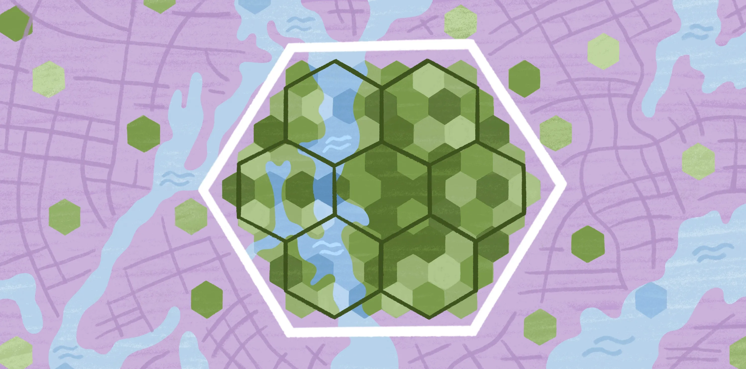
Scaling analysis across regions
What works for a small waterbody doesn’t necessarily translate to larger areas. As hydrology systems expand, data volume increases and models become harder to manage and compare on a consistent basis. For instance, a team may easily manage a map with 1000 water features, but the people and their software could struggle once maps contain hundreds of thousands.
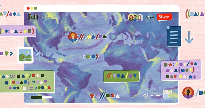
Map and analyze water systems with Felt
Better hydrological mapping comes down to the quality of the data and how easily teams can work with it. Turning this information into meaningful insight takes high-quality tools — luckily, Felt fills that need.
As an AI-native GIS platform, Felt brings elevation analysis, surface water mapping, and drainage studies into one interactive workspace. Rather than jumping between tools, quick file imports and cloud data integration let teams gather data from multiple sources, then layer, analyze, and share it.
Felt handles large hydrological datasets at enterprise scale. Through raster streaming, Felt streams high-resolution DEMs and precipitation data directly from S3, GCS, or Azure with no file download or preprocessing required. Teams can also connect Postgres, Snowflake, Redshift, and Databricks directly, keeping drainage networks and hydrology analysis live. Felt AI lets you query hydrology datasets in natural language or generate spatial SQL against connected warehouse data, without writing queries from scratch.
To see how Felt visualizes waterbodies and reveals unique insights, check out our climate and natural resources map gallery.
Compare Felt using AI