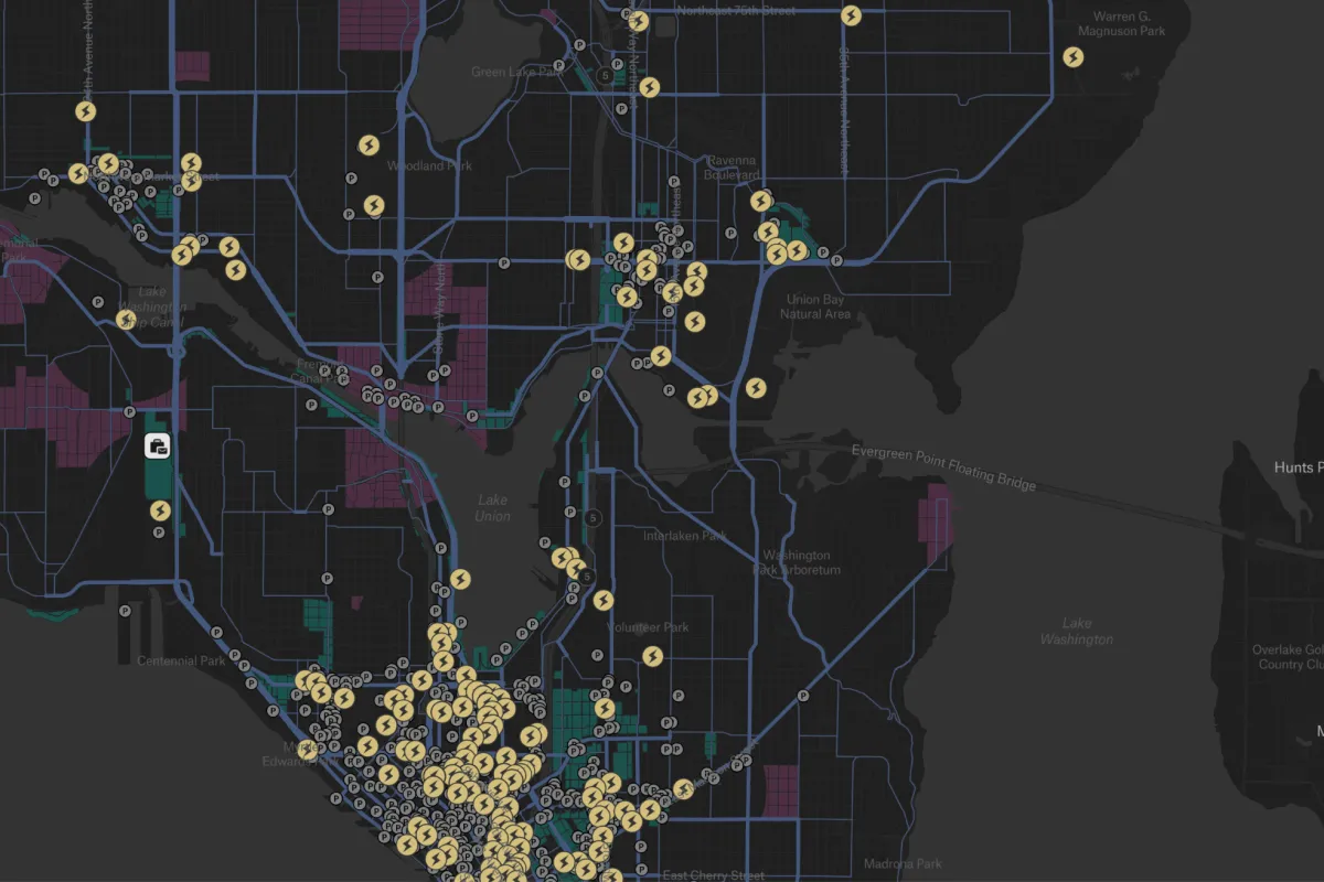
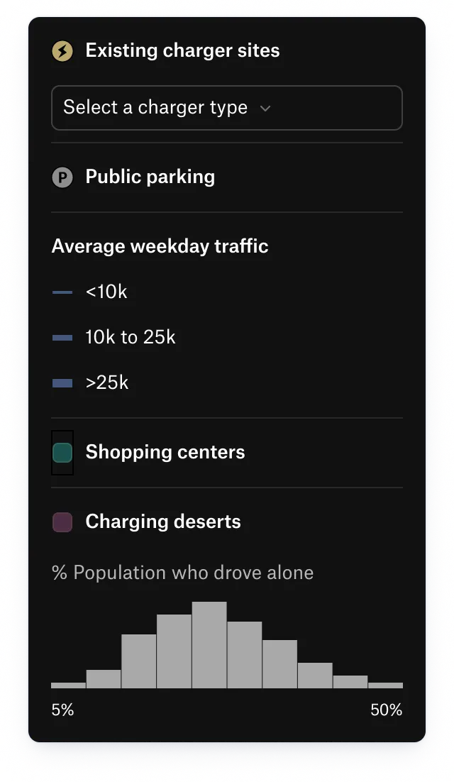
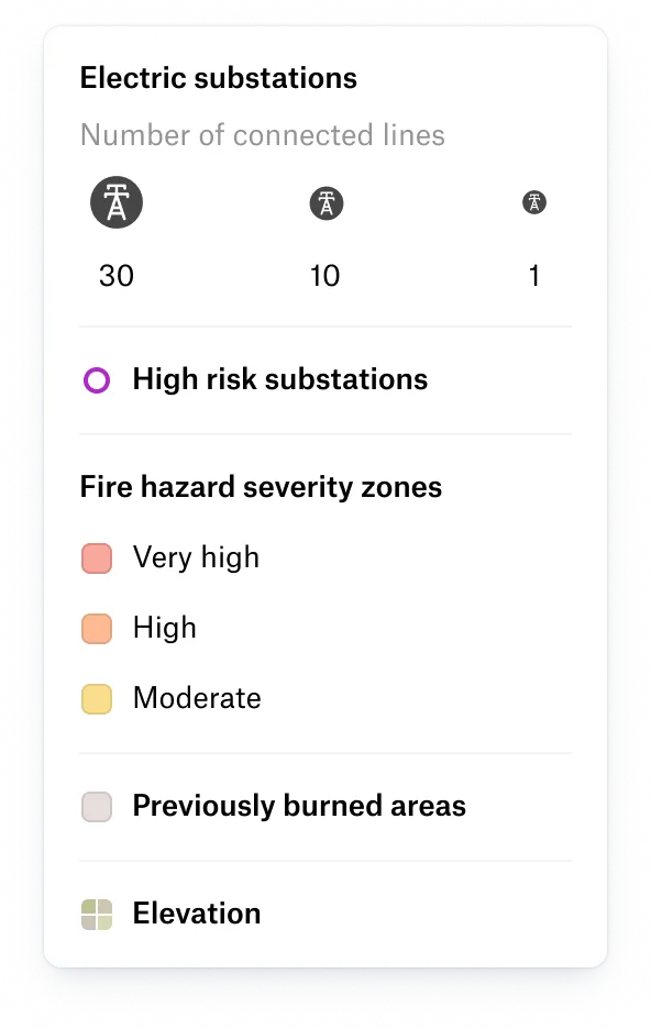
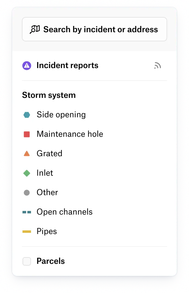
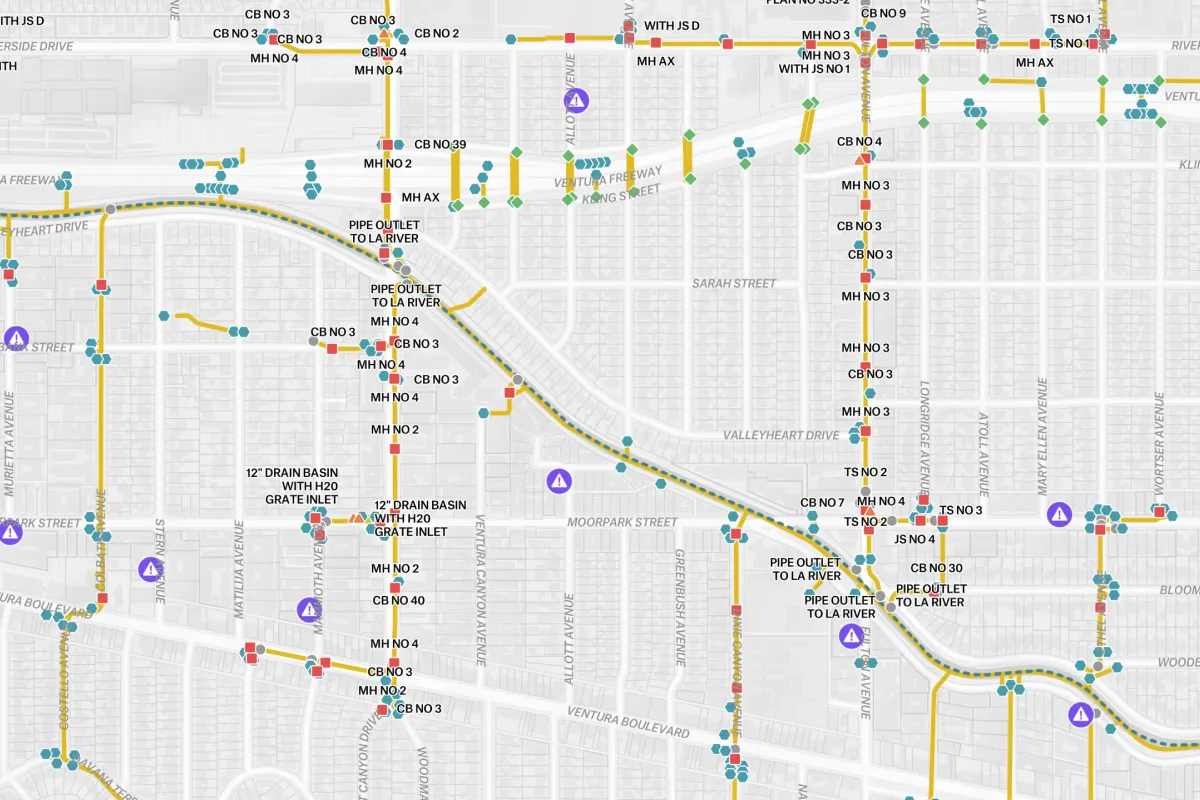
GIS utility mapping is the use of GIS and geospatial data to map, analyze, and manage utility infrastructure, enabling electric utility companies to monitor assets and make faster decisions across operations and field work.

Make your source-of-truth accessible to those who rely on it daily.


Utility GIS mapping uses tools such as GIS software, GIS mapping platforms, and cloud-based solutions that combine geospatial data with infrastructure data to map, analyze, and manage utility networks.
Yes. Electric utility companies use GIS and GIS mapping to analyze geospatial data related to electricity demand, visualize consumption patterns, and connect power usage data to infrastructure such as substations and distribution networks.
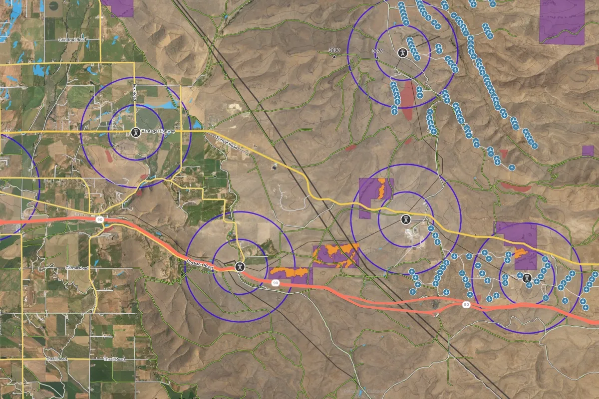
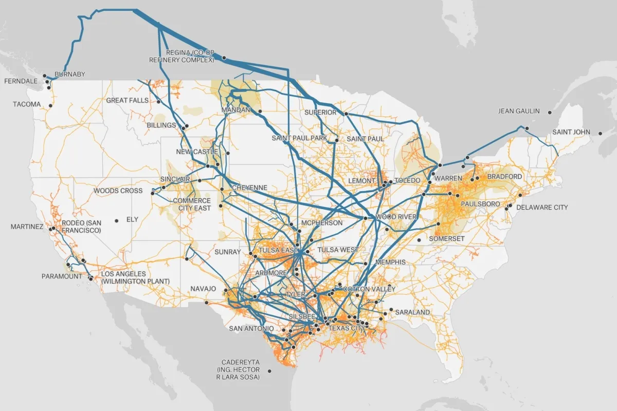
Electricity and utility mapping uses data from geospatial data sources such as infrastructure data, asset inventories, substations, smart meters, sensor networks, and field-collected data. These sources are combined with satellite imagery, government datasets, and operational utility data to support GIS mapping for planning, monitoring, and maintenance.