The difference between KML vs. KMZ: A quick guide
Even in today’s cloud-based mapping environments, teams still exchange spatial data in discrete file formats like KML and KMZ.
These files are often attached to an email, uploaded to a shared drive, or passed along in a project handoff. And because they appear in archives and exports from Google Earth and other GIS software, you’ve likely encountered both if you work with geospatial data.
But what’s the real difference between KML and KMZ? And does it matter which file format you use? We’re exploring those answers and explaining how your choice affects performance and compatibility in modern GIS workflows.
What is a KML file?
KML stands for Keyhole Markup Language. It’s a text-based XML format that stores and shares geographic data. Originally created for Google Earth, KML has become a widely supported standard for exchanging geospatial information. Inside a KML file, you’ll typically find:
- Features: Points, lines, and polygons
- Attributes: Names and metadata
- Styling rules: Controls colors and symbology
- References: Icons or images for map markers
- Display instructions: How features appear on a base map
Why teams use KML
A KML file works well if you prioritize clarity and editability over portability. Teams use it to:
- Share geographic data between systems.
- Visualize data in Google Earth or Google Maps.
- Exchange spatial datasets in collaborative workflows.
- Archive styled geographic layers.
One of KML’s biggest advantages is that it’s human-readable. You can open the file in a basic text editor and inspect coordinates, styling rules, and feature properties directly, which makes it easier to review and edit geospatial content.
Tradeoffs of KML
Because KML stores data as plain, uncompressed XML text and often links to external assets, file sizes can grow quickly. Larger files take longer to upload, download, and share across teams. Despite its transparency and broad compatibility, KML isn’t the most efficient option for distributing map data at scale.
What is a KMZ file?
KMZ stands for Keyhole Markup Language Zipped and is a compressed version of a KML file. It acts as a container, not a new data model. Instead of storing geographic data as plain-text XML, KMZ packages the KML with its supporting assets into a single compressed archive.
The KMZ file extension represents a zipped bundle that includes:
- One primary KML file.
- Associated resources like an icon, image, or 3D model.
- Supporting files referenced by the map data.
Technically speaking, a KMZ map is a compressed ZIP file that reduces file size while grouping related geospatial resources. Rather than linking to external assets, it embeds them inside the same package to help users move, store, and share the map as a complete unit.
A KMZ file applies standard ZIP compression to:
- Bundle related geographic data.
- Preserve internal file references.
- Maintain compatibility with GIS platforms.
Most systems identify a KMZ file as a compressed geospatial format. When opened in a compatible viewer, the KML inside controls how map data is displayed.
Why teams use KMZ
Teams choose KMZ for reliable handoffs and distribution. It works best for:
- Sending completed maps to collaborators.
- Delivering geospatial projects to clients.
- Archiving styled maps with embedded assets.
- Sharing map data with custom icons and images.
Since map data and supporting files travel together in a compressed file, KMZ reduces the risk of broken links or missing assets during transfer.
Tradeoffs of KMZ
While KMZ improves portability, it sacrifices immediate transparency. Geographic data and map settings are tucked inside a compressed package, so you can’t view or edit them without opening the archive.
Key differences between KML and KMZ
KML and KMZ files store the same type of data but they have different structures and packaging. Here’s a side-by-side look at KML and KMZ formats to help you choose the right one for sharing and distributing geospatial projects.
Note that both formats support geospatial features from other data sources, like shapefiles or GeoJSON, and are widely recognized by GIS software, Google Earth, and Google Maps.
Which one should you use in modern Web GIS workflows?
Deciding between KML and KMZ comes down to how your data moves through real workflows. Editing, sharing, and archiving each place different demands on the format.
This section offers guidance on how to think about file formats in modern Web GIS workflows, but without prescribing a single solution.
When KML or KMZ makes sense
A KML file is preferred for transparency and hands-on editing. Because it’s human-readable, teams can inspect coordinates, tweak styling, and debug map layers. It’s ideal for lightweight, collaborative projects where multiple people verify geospatial data or manage files in GIS software like QGIS.
A KMZ file, on the other hand, is better for sharing complete map packages, particularly when a project includes media-heavy content. By compressing the KML and its associated assets, it reduces file size and makes larger datasets easy to share.
However, KMZ files aren’t directly editable. You must unzip the archive, modify the doc.kml, and then rezip the package, which makes editing inconvenient. For that reason, KMZ is best for delivering maps to external viewers or moving complex projects between systems.
File formats as inputs, not destinations
In most GIS workflows, KML and KMZ aren’t final destinations — they’re inputs. Whether uploading to a viewer, importing into QGIS, or integrating with a map app, the platform converts the file into its internal format for rendering and analysis.
The choice of file format is most important before the data enters the system, like with handoffs, sharing, or archival purposes.
When format choice matters and when it doesn’t
The goal is to get your data uploaded smoothly so you spend less time troubleshooting and more time actually using GIS tools. Understanding the following nuances helps you avoid technical hang-ups:
- It matters when you send data across teams or systems: This includes archiving for future use, or including multiple assets that need to travel together. In these cases, KML’s transparency or KMZ’s packaging can make a significant difference.
- It doesn’t matter once the data is loaded into a Web GIS platform or map app: At that point, the system treats your KML or KMZ as geospatial input and your workflow depends more on layers, styling, and base maps than the original file format.
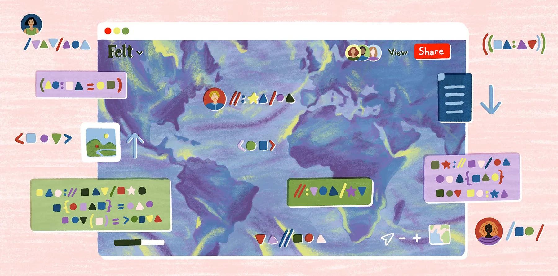
Work with KML and KMZ using Felt
KML and KMZ files are great for moving map data between tools. But the real work begins after data enters your workflow.
With Felt, you won’t have to worry about exporting new versions, tracking edits, and keeping everyone aligned. You upload the files and it becomes part of a live, shared map. Every edit and comment from team members happens in one place. And layer updates mean you won’t have to wonder which version is current.
Felt recognizes KML and KMZ file formats as inputs and transforms them into interactive layers that teams can style, filter, and analyze in real time. Better yet, when you draw shapes in Felt instead of Google Earth, you can export them as GeoJSON — a more portable format that’s easy to reuse across mapping apps and viewers.
Thanks to Felt, your team can:
- Collaborate in real time within a browser-based Web GIS environment.
- Convert uploaded KML and KMZ files into interactive map layers.
- Iterate without re-exporting or managing files at every step.
- Maintain base maps, icons, and map assets while layering additional data.
Felt’s AI-native platform was built to reduce file-format friction and accelerate spatial workflows. Start exploring KML and KMZ in Felt and turn your file-based data into shareable maps your team can analyze and act on.
FAQ
Does Google Earth use KML or KMZ?
Google Earth uses both KML and KMZ files for storing and displaying geographic data. To convert a map, open it in Google Earth Pro, choose “Save Place As,” and select either .kml or .kmz from the file type menu before saving.
Can KMZ be converted to KML?
KMZ files can be converted back into standard KML files easily. Common methods include: opening the KMZ in Google Earth Pro and choosing “Save Place As” to export it as a .kml, using an online conversion tool, or simply unzipping the KMZ to access the doc.kml inside.
What’s the difference between SHP and KML?
Esri Shapefile (SHP) and KML are both vector formats for geospatial data, but they serve different purposes. SHP is the go-to for storing and analyzing GIS data in desktop applications. KML is an XML-based file designed for visualization and sharing on web maps or in Google Earth.
Compare Felt using AI