Top geospatial companies: 14 tools leading the industry
Countless businesses rely on location data to understand the world and make impactful decisions. Geographical information systems (GIS) are a big part of this process, and modern mapping companies make it possible. GIS tools with user-friendly interfaces, in-depth pattern analysis, and custom applications help countless companies in their daily operations. Whether they’re planning urban development or tracking air quality, modern geospatial organizations let teams study data and take action.
This article lists the top geospatial companies, their standout software features, and the ways they’re shaping the industry.
What are geospatial companies? A glimpse into their purpose
Geospatial companies collect and interpret location data from maps and sensors, turning it into real-world intelligence that people can act on. These organizations build various geospatial technologies, including GIS software, remote sensing, and global positioning systems. These tools work together to help teams collect real-world data and create comprehensive maps.
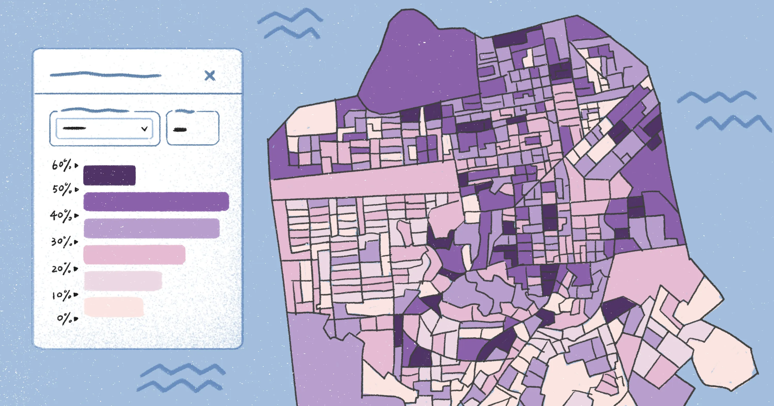
Mapping companies help real businesses in their day-to-day work. GIS software lets companies:
- Gather geospatial data from satellites and drones to understand different locations
- Visualize and shape spatial information with 3D graphics
- Look for patterns to guide strategic planning and future decisions
- Create tools to embed location intelligence into everyday workflows
Top 14 geospatial software companies globally
Here are the top geospatial analytics companies shaping the future of mapping and location intelligence.
1. Felt
Felt is a cloud-based GIS platform that simplifies the process of creating maps, apps, and interactive dashboards — without complex technical requirements and coding know-how. It combines collaborative mapping and analysis tools, allowing organizations to convert raw geospatial data into insights. For example, teams can upload massive datasets in a few clicks to discover forest fire risks or identify burgeoning retail opportunities.
Businesses can also use Felt APIs to connect their applications, weaving its powerful capabilities into personalized workflows and pipelines.
Felt is ideal for any team that needs quick, adaptable GIS software and real-time geographic information.
2. Esri
Esri is known for its ArcGIS platform, which offers mapping tools to help teams organize and visualize spatial data. While it’s a more traditional, complex platform, it integrates with Felt, letting teams transfer Esri data to a more intuitive interface and explore it in depth.
3. CARTO
CARTO focuses on location intelligence, offering AI mapping tools that store and visualize data. It provides data streaming and custom geospatial applications. CARTO has a conversational AI agent that functions like ChatGPT, allowing people to ask questions about their maps and data.
4. Cesium
Cesium is a 3D geospatial platform that allows teams to design and build interactive 3D maps and applications. It uses the free, open-source CesiumJS to render terrain but requires the subscription-based Cesium ion to deliver and stream the spatial data sets.
5. HERE Technologies
HERE Technologies is a platform that provides global location services and geospatial intelligence. Its main offerings include mapping tools, APIs, and geocoding solutions. HERE Technologies primarily focuses on automotive industry needs, such as fleet optimization and traffic routing.
6. Meta
Meta utilizes mapping and location data to support its different metaverse applications. It combines geospatial data with AI analytics to create user-facing geographic experiences and location-based services. Meta predominantly uses their map tools for their social networks. For example, this tech powers location searches and tags on Instagram.
7. Planet
Planet operates a large fleet of satellites that delivers daily imagery. Its core monitoring service, PlanetScope, uses data to track environmental changes like glacial retreat, coastal erosion, and deforestation.
8. Sparkgeo
Sparkgeo builds custom applications for businesses, including interactive maps and data pipelines. They offer consultancy services, advising companies on geospatial strategy and tool implementation methods. Sparkgeo provides a core analytics product called Maptiks that tracks how users interact with maps.
9. TomTom
TomTom focuses on travel and transportation. It provides digital maps that power various automotive tools, including car navigation systems and consumer traffic software. It offers APIs and software development kits for developers and businesses and provides mobile apps for drivers.
10. Trimble
Trimble provides positioning and mapping services, focusing on the construction and transportation industries. They support 3D modeling and data analysis alongside hardware like satellite receivers, machine control sensors, and drones.
11. Mapbox
Mapbox provides developer tools and 3D maps. It supports APIs for routing, geocoding, and analytics. Developers use it to build maps and visualize data in various location-based apps, but due to data limits, may need to swap to alternative software for larger projects.
12. Google Earth Engine
Google Earth Engine is a geospatial data provider and cloud-based platform. It processes satellite imagery and global datasets, providing details on land use and resource management. For nonprofit research use, it’s free to use, but it requires a subscription for large-scale commercial purposes.
13. Bentley Systems
Bentley Systems combines engineering software and geospatial data to support infrastructure projects. Its platform combines GIS, building information modeling, and digital twin technology to create virtual models of construction sites and city plans.
14. Hexagon
Hexagon collects and manages location data and aerial imagery. Its tools map and monitor areas across industries like agriculture, mining, and public safety. Hexgon offers both cloud-based software and desktop platforms, focusing more on large-scale operations and enterprise companies.
Be part of a modern GIS movement with Felt
Modern map companies are changing the way we interact with the world around us. They provide practical information that lets businesses understand real issues, from environmental shifts to traffic conditions. If you’re looking to analyze geospatial data in depth, check out Felt.
Felt transforms how teams work with maps and spatial data, making it easier to visualize trends and take action. This geospatial platform simplifies decision making across territories and projects so organizations can act with confidence and clarity. Felt lets teams upload any file type, visualize massive datasets, and share the results with a simple link. For an efficient team experience, leave comments and collaborate to polish projects in real time.
Ready to experience Felt for yourself? Book a demo to see how you can create personalized maps and apps in seconds.
FAQ
Who are the key players in the geospatial field?
The geospatial field includes both newer, browser-based platforms and long-standing companies. Cloud-native tools like Felt allow any size team to store, visualize, and study geospatial data. Older, traditional software, like Esri and Hexagon, are still relevant and mainly support enterprises.
What’s the biggest GIS company in the world?
Esri is the largest GIS company in the world by market share and organizational use. It’s also the oldest GIS business. It was founded in 1969 and created its first commercial software, Arc/Info, in 1982.
Compare Felt using AI