.webp)
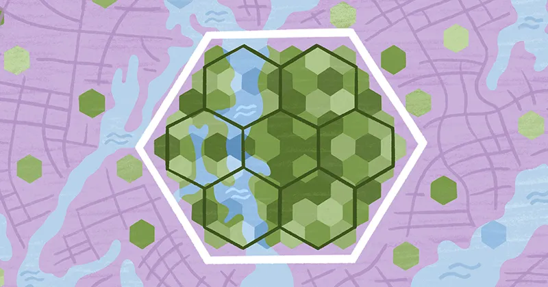
Geocoding analysis: From geocoded points to spatial decisions
Many people think of geocoding as a quick conversion tool. You enter an address, get a set of coordinates, and the job is done. While geocoding transforms written locations into geographic coordinates, those numbers don’t answer questions or guide decisions on their own.
Geocoding analysis gives location data meaning. It reveals patterns and relationships hidden within those points. A collection of coordinates can show you where something exists, but usable spatial insights only emerge when you check them for accuracy, compare them with other data sets, and interpret them within a geographic information system (GIS).
Let’s break down what geocoding is and the different types used today. We’ll also show you where it delivers the most value in real-world spatial analysis.
What is geocoding?
Geocoding converts structured or semi-structured location data like addresses, place names, and postal codes into precise geographic coordinates. The output is a set of latitude and longitude values represented as point features in GIS software.
Behind the scenes, a geocoder — sometimes called a locator — interprets a physical address by comparing it to reference data, such as street networks and gazetteers. It evaluates potential matches and returns the best coordinate based on that reference information.
Geocoding operates in two directions: forward and reverse.
Forward geocoding
Forward geocoding turns human-readable, text-based addresses into machine-readable geographic coordinates. GIS teams use forward geocode data when mapping operational or administrative data sets.
For example, a planning department might geocode building permit addresses to visualize development across a municipality. Analysts also geocode facility records to monitor service coverage and identify clusters.
Reverse geocoding
Reverse geocoding transforms latitude and longitude coordinates into a human-readable address or place name. It works opposite to standard (forward) geocoding by translating GPS data into actionable location information.
Reverse geocoding systems are especially useful when working with sensor or field data, where devices collect locations as raw coordinates. Analysts can convert GPS points into street addresses or assign them to census tracts, adding geographic context for reporting and demographic studies.
Both forward and reverse geocoding can work on a single record or run in batches at scale. Either way, the result is the same — geocoders derive coordinates from street segments, parcels, or geographic centroids for use in spatial analysis.
How geocoding analysis works
Geocoding analysis begins after the geocoder generates coordinates. The focus shifts from simply creating points to understanding how accurate those points are. Analysts evaluate match quality and decide if the resulting data can be trusted for further analysis.
Most geocoding systems assign a match score to each record, indicating how closely the input aligns with a reference feature. In a GIS workflow, these scores guide decisions about which points are ready to use and which require review or another pass through the geocoder. A low score doesn’t always mean a point is “wrong,” but it signals that extra attention is needed.
Once geocoded, records transform into actionable spatial data. Analysts can:
- Filter points based on confidence scores
- Compare points against administrative boundaries
- Layer points with other data sets
Geocoding analysis often involves inspecting low-confidence matches and correcting problem records to improve accuracy.
The reliability of geocoding results depends on the strength of the reference data. Outdated or imprecise street networks and parcels can introduce positional inconsistencies. Validating results in a GIS environment ensures the final data set supports accurate spatial decisions.
Applications of geocoding analysis
Geocoding is more than converting addresses into points on a map. It enables spatial analysis that reveals relationships and constraints in your geographic data. These insights guide planning and decisions across many fields. Here’s what geocoding analysis is used for in everyday scenarios.
Mapping and visualization
With geocoded coordinates, analysts can turn raw location data into detailed maps that visualize spatial patterns not obvious in spreadsheets. For example, mapping customer locations highlights underserved areas that call for targeted outreach or adjustments in service coverage.
That said, spatial patterns can be misleading if points contain systematic inaccuracies like misspelled addresses. Analysts always need to check the quality of their geocoding before drawing conclusions.
Spatial analysis and pattern detection
Geocoding lets you dig deeper into spatial analysis, spotting clusters, finding outliers, and examining point interactions. Analysts can explore how incidents or resources relate to administrative boundaries, revealing both hotspots and gaps in coverage. Accuracy is key, though, since faulty coordinates can distort patterns and lead to skewed results.
Routing and service-area analysis
After mapping locations, geocoding helps you find optimal routes and estimate travel times. This makes it easier to plan field operations and prepare emergency response strategies. Thanks to geocoding analysis, cities can determine the fastest routes for waste collection trucks and pinpoint neighborhoods outside a hospital’s service area.
Data enrichment and integration
Geocoded points can be enriched with additional data sets like demographic statistics and economic indicators. Linking attributes to spatial coordinates allows for integrated analyses and helps you uncover relationships that inform planning decisions. For instance, overlaying sensor locations with environmental data can improve risk assessments.
Using Felt for geocoding analysis
In traditional GIS workflows, geocoding often happens as a separate, sometimes tedious preprocessing step before analysis can begin. Felt streamlines that process by keeping geocoding and analysis in the same environment, letting you move from raw data to insight in seconds.
Felt is a cloud-native GIS platform that keeps geocoding and spatial analysis in one centralized environment. It automatically recognizes geographic entities in uploaded tabular data, from street addresses and place names to ZIP codes and FIPS codes. It then geocodes that address data into mapped points, which you can classify numerically, without any manual API setup.
With your data mapped, you can analyze it immediately, right in the same workspace. You can inspect results and adjust how layers look. You can also classify values and refine your maps without having to repeat exports or switch between tools.
Discover geocoding analysis in-browser with Felt and see how effortless location-based insights can be.
FAQ
How does geocoding improve data analysis?
Geocoding turns addresses and place descriptions into precise geographic coordinates, helping analysts map and explore location data. With this spatial context, you can spot patterns and make data-driven decisions based on where events occur.
What is the difference between georeferencing and geocoding?
Georeferencing links existing maps and images to real-world coordinates so they align correctly in a GIS. Geocoding converts textual location information — like addresses or place names — into point coordinates that can be mapped and analyzed.
What is the difference between geolocation and geocoding?
Geolocation identifies where a device or user is in the real world, often using GPS or IP data. Meanwhile, geocoding takes descriptive location information, like an address or postal code, and turns it into coordinates you can map and interpret.
Compare Felt using AI


.webp)